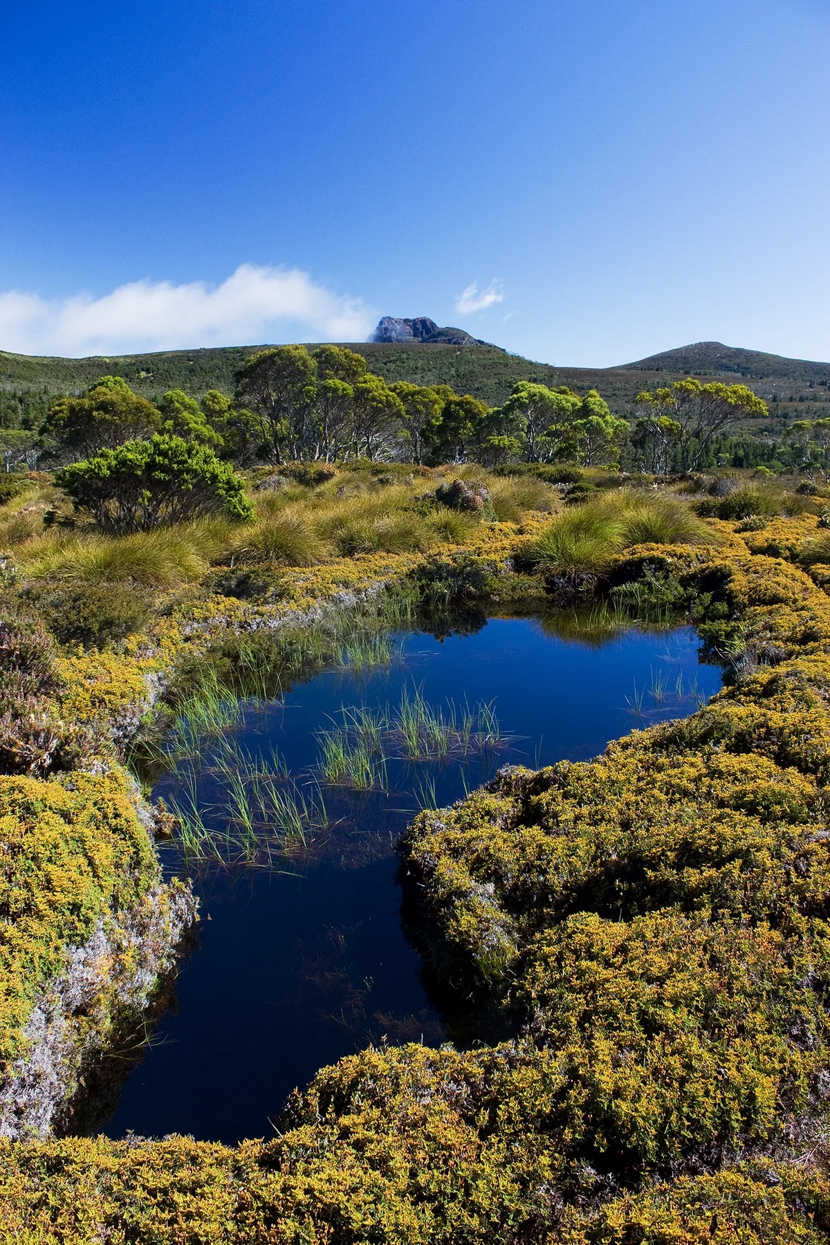
Overland Track — Across Tasmania’s Highlands
A six-day route through Tasmania’s Cradle Mountain–Lake St Clair National Park, following the official hut sequence across alpine plateaus, rainforest, buttongrass plains and glacial valleys.
A stage-by-stage walk across Iceland’s southern highlands, from the geothermal rhyolite landscape of Landmannalaugar through volcanic plateaus, lakes and black-sand valleys to the birch woods of Þórsmörk.
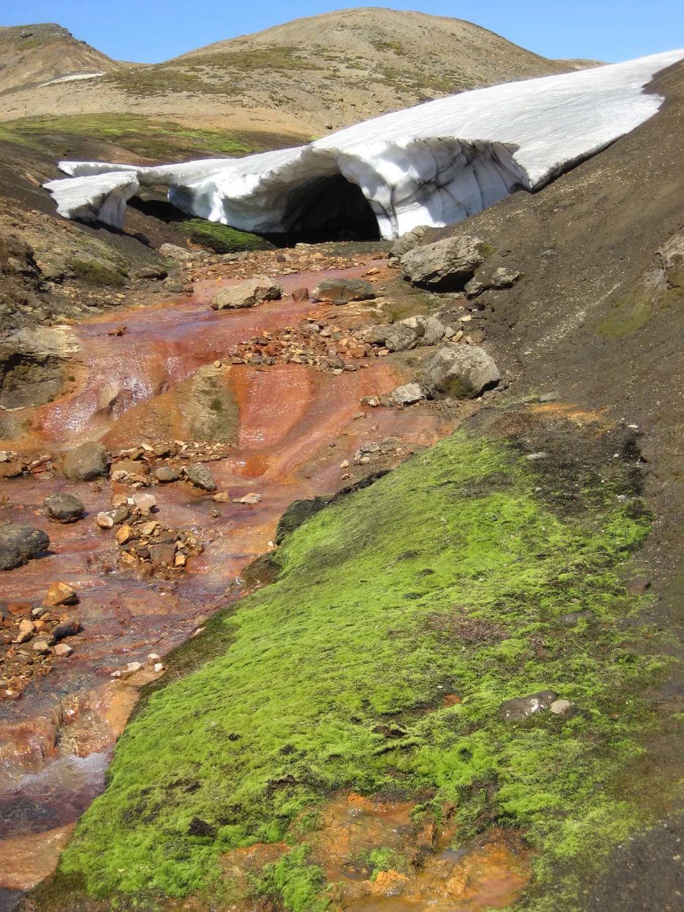
A six-day route through Tasmania’s Cradle Mountain–Lake St Clair National Park, following the official hut sequence across alpine plateaus, rainforest, buttongrass plains and glacial valleys.
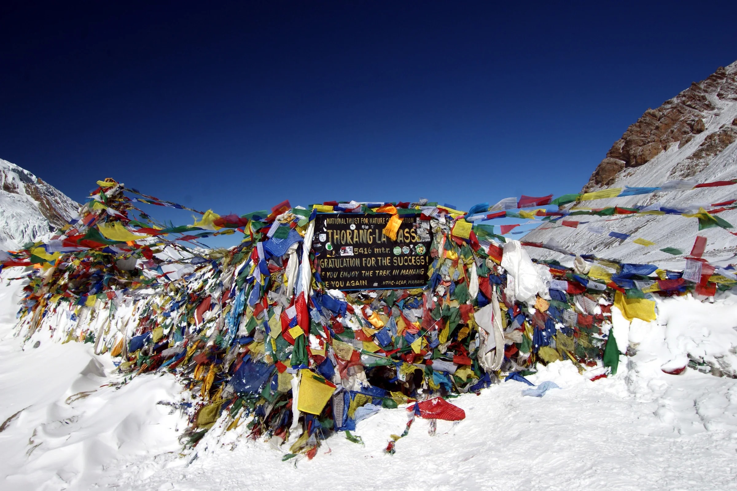
A compressed map of the classic Annapurna Circuit, climbing from Besisahar through Manang to Thorong La before descending past sacred Muktinath into the Kali Gandaki valley.
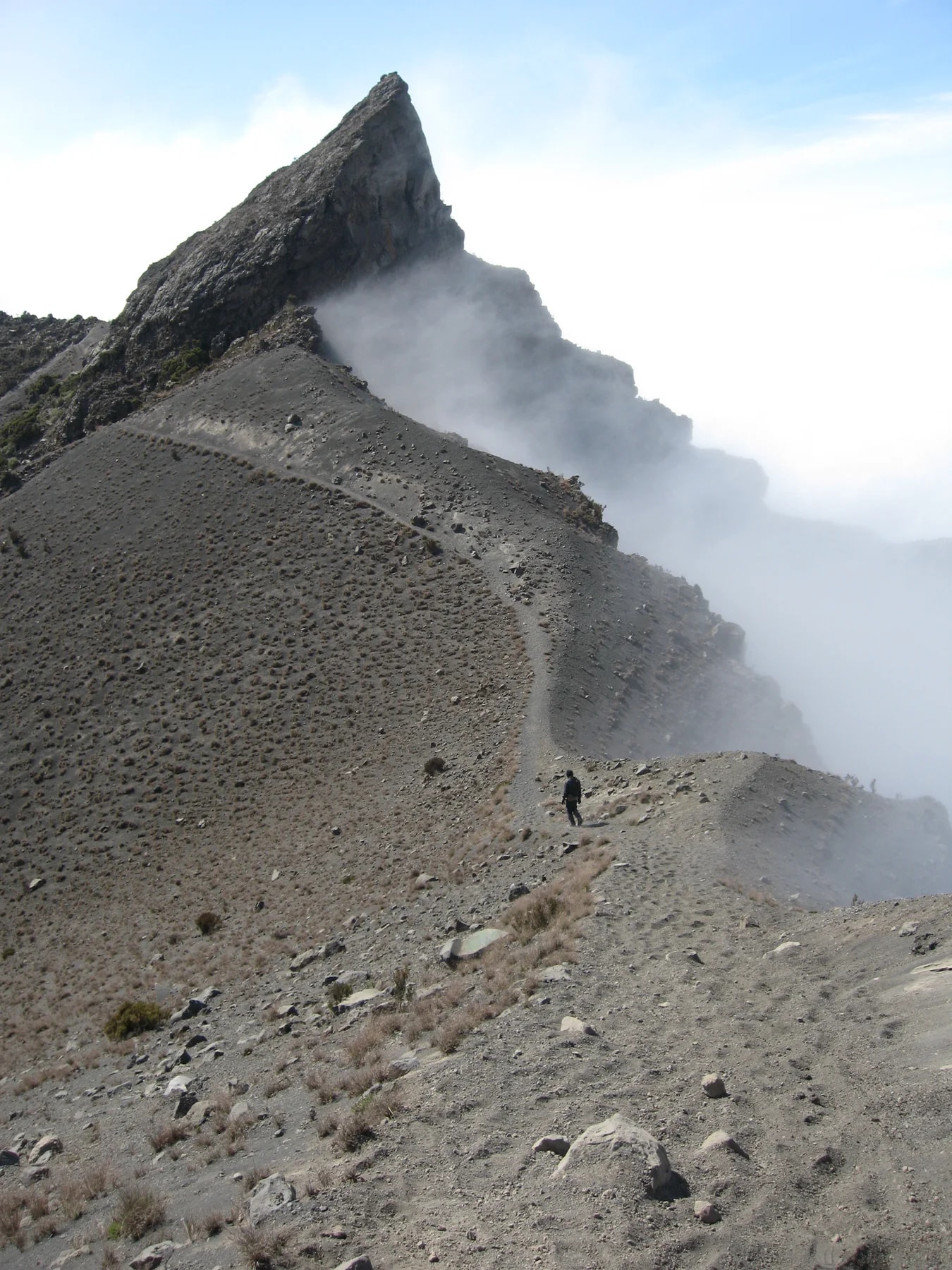
A short high-altitude hut trek through Arusha National Park, climbing from wildlife-rich lower slopes to Miriakamba and Saddle huts before the crater-rim summit route to Socialist Peak.
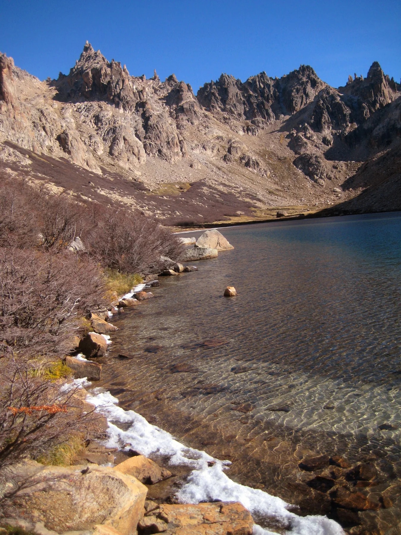
A demanding hut-to-hut traverse above Bariloche linking the Frey, Jakob, Laguna Negra and López refugios through the granite ridges and alpine lakes of Nahuel Huapi National Park.
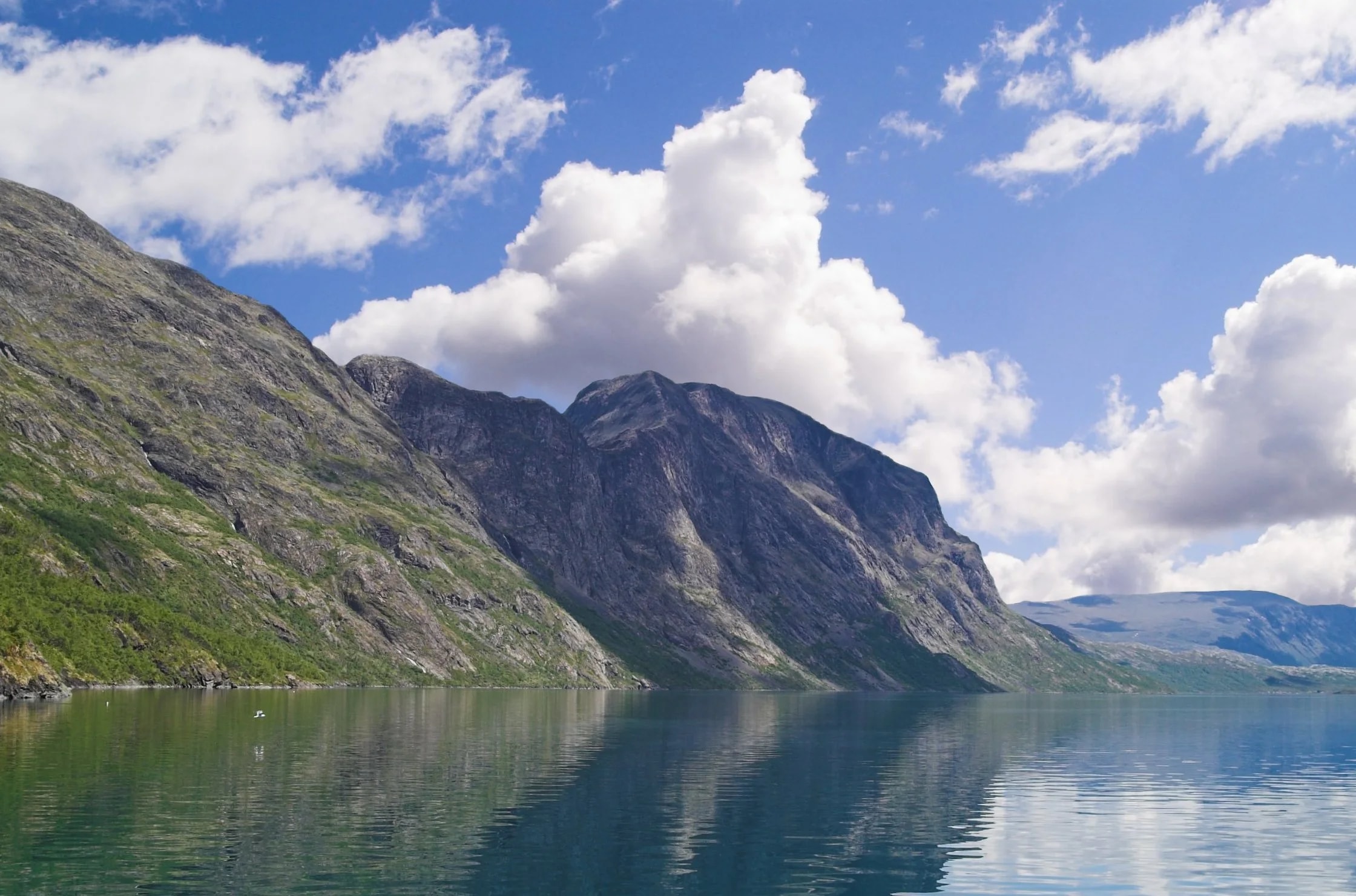
Norway’s four-stage Historical Hiking Route follows the old mountain gateways of Gjende and Bygdin from Gjendesheim across Besseggen and Svartdalen to Eidsbugarden.

Stage 1
Iceland Highlands
The walk starts at Landmannalaugar among rhyolite ridges, black lava and geothermal ground. The first stage climbs into exposed highland terrain toward Hrafntinnusker.
63.9830°N · 19.0670°W
Stage 2
Iceland Highlands
Hrafntinnusker is the highest overnight stop on the classic itinerary. Snowfields can linger here in summer and the hut has little shelter from fast-changing highland weather.
63.9330°N · 19.1710°W
Stage 3
Iceland Highlands
The trail drops from the plateau to green country around Lake Alftavatn. FI operates two huts here with 72 sleeping places, making it a major overnight stop on Laugavegur.
Stage 4
Iceland Highlands
Emstrur sits in darker volcanic country south of Alftavatn. A side walk from the huts reaches the deep Markarfljot canyon cut into the highland plateau.
63.7660°N · 19.3740°W
Stage 5
Iceland Highlands
The final stage gradually leaves bare volcanic country behind. Thorsmork is greener and more sheltered, with birch woodland beneath the surrounding ice caps.
63.6830°N · 19.4820°W